Methodology
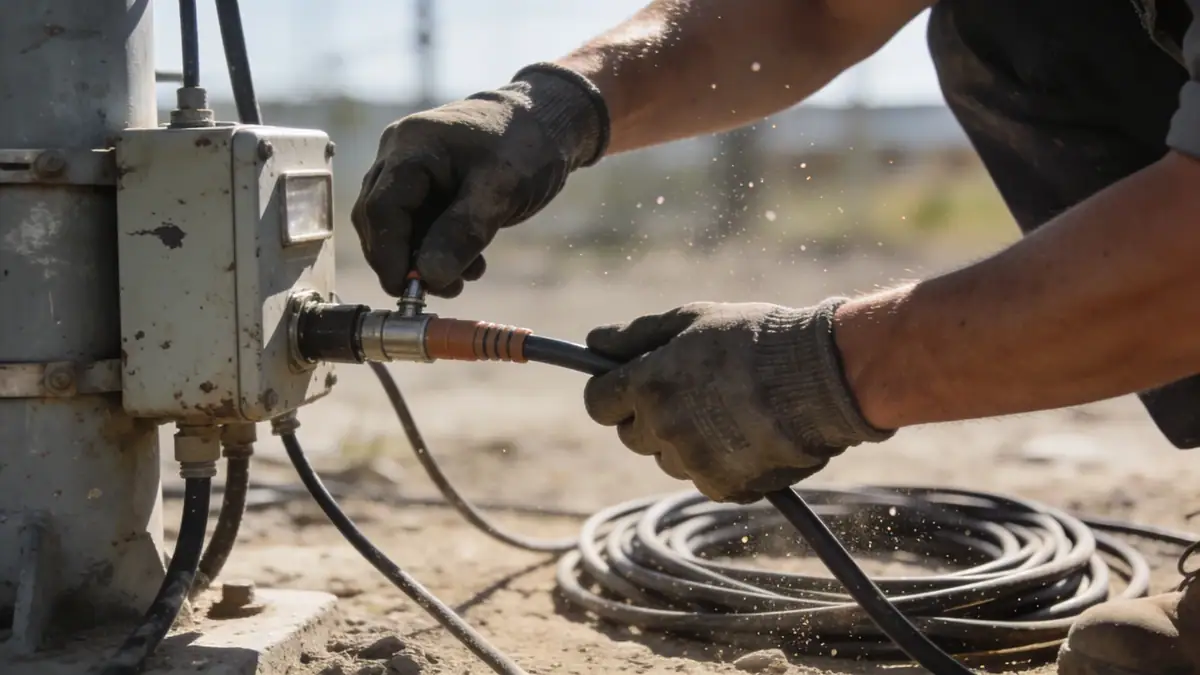
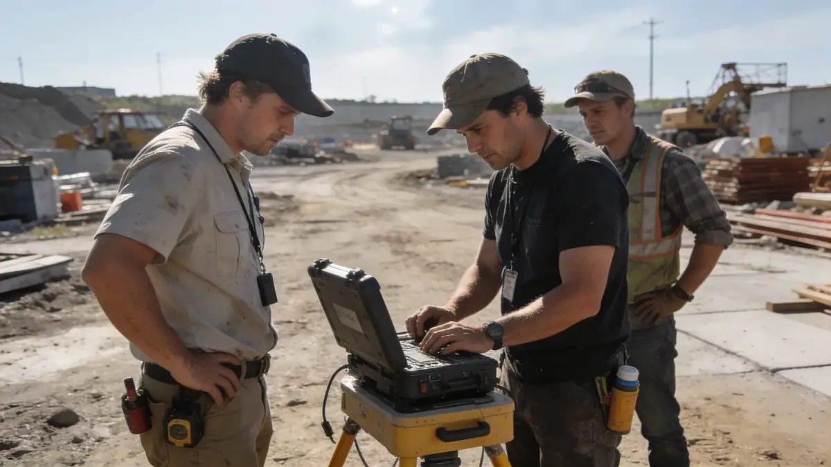
Our approach to geotechnical engineering in Columbia South Carolina begins with a comprehensive review of existing geologic maps and nearby project records. We then plan a subsurface exploration program tailored to the site's complexity, typically including spt boring at 30 m intervals for large structures. Sampling follows ASTM D1586, with split-spoon recovery and Standard Penetration Test N-values recorded every 1.5 m. Laboratory testing on representative samples includes grain size analysis, Atterberg limits, and unconfined compression. Our team integrates these data to develop a site-specific geotechnical model, which informs bearing capacity, settlement estimates, and lateral earth pressures for foundation design.
Reference Technical Parameters
| Parameter | Reference Value |
|---|---|
| Predominant soil type | Interbedded sands, silts, and clays (coastal plain deposits) |
| Maximum seismic acceleration (PGA) | 0.2g to 0.3g (ASCE 7 Site Class C/D) |
| Typical groundwater level | 2 to 6 m below ground surface |
| Bedrock depth | > 30 m (deep coastal plain; no bedrock within exploration depths) |
| Typical N60 range (sands) | 5 to 25 blows/0.3 m |
Local Considerations — Columbia South Carolina
Columbia's geology is dominated by unconsolidated sediments of the Atlantic Coastal Plain, with variable layers of sand, silt, and clay. The presence of the Congaree River and its tributaries creates heterogeneous alluvial deposits and shallow water tables in many areas. Seismic design per ASCE 7 requires Site Class C or D with PGA values up to 0.3g. Our team has extensive experience in the region, from downtown high-rises to suburban developments in Lexington and Irmo. For specialized analysis, we coordinate with our slope stability team to evaluate cut slopes in the Piedmont transition zone. We also leverage our soil mechanics laboratory for site-specific index properties and strength testing.
Request a Quote
Our team reviews your project and issues an initial report at no cost.
Or write us directly at contact@geotechnicalengineering.net
Services in Columbia South Carolina
Applicable Standards
- ASTM D1586 (Standard Penetration Test)
- ASTM D2487 (Unified Soil Classification System)
- ASCE 7 (Minimum Design Loads for Buildings and Other Structures)
- IBC (International Building Code) – South Carolina amendments
Frequently Asked Questions
What are the typical soil conditions in Columbia, South Carolina?
Columbia's soils are primarily alluvial and coastal plain deposits, consisting of interbedded sands, silts, and clays. Groundwater is often shallow, especially near the Congaree River. Deep sandy layers may provide good bearing capacity, but soft clay lenses can cause differential settlement.
Is seismic design required for buildings in Columbia, South Carolina?
Yes. Per ASCE 7, Columbia is in Seismic Design Category B or C, with peak ground accelerations up to 0.3g. A site-specific response analysis may be required for critical structures or soft soil profiles. Geotechnical reports must document Site Class and seismic parameters.
Are geotechnical studies mandatory for construction in Columbia?
While not always legally required for small residential projects, most local building officials and lenders require a geotechnical report for commercial or multi-story structures. The IBC recommends geotechnical investigations for all new construction to ensure public safety.