Methodology
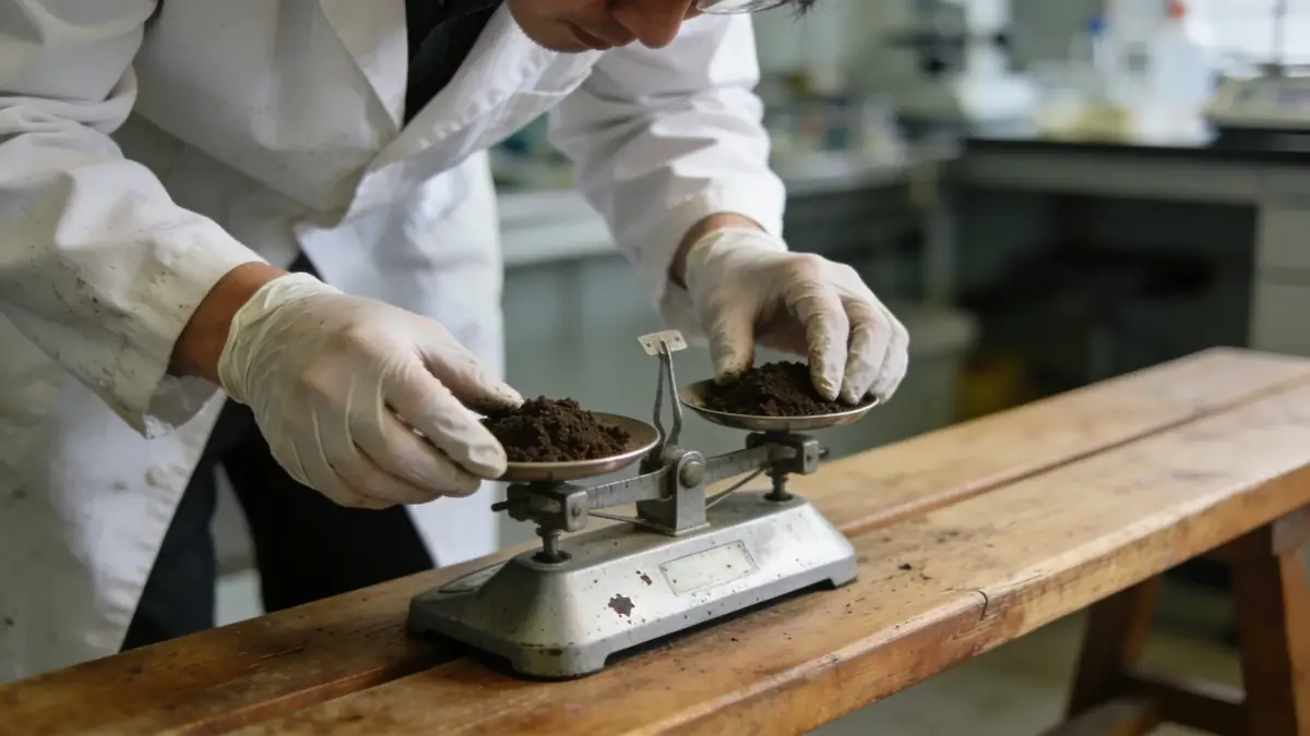
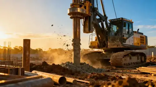
Our geotechnical engineering methodology in Fayetteville Arkansas begins with a thorough review of existing geologic maps and prior site data. We then conduct field investigations, including spt boring to obtain disturbed and undisturbed samples. In the laboratory, we perform index and strength tests following ASTM D1586 for standard penetration testing and other relevant standards. Our approach integrates subsurface conditions with project requirements to develop safe and economical foundation recommendations, always considering the unique soil and rock profiles of the region.
Reference Technical Parameters
| Parameter | Reference Value |
|---|---|
| Predominant soil type | Silty clay and clayey sand overlying limestone and sandstone |
| Maximum seismic acceleration (PGA) | 0.10–0.15g (ASCE 7-16, Site Class C–D) |
| Typical groundwater level | 5–15 ft below ground surface, varies seasonally |
| Bedrock depth | 10–30 ft in most areas; deeper in alluvial valleys |
| Typical N60 range | 5–15 blows/ft in clay; 30–50+ blows/ft in weathered rock |
Local Considerations — Fayetteville Arkansas
Fayetteville Arkansas lies within the Ozark Plateau, characterized by karst topography underlain by Mississippian limestone and sandstone. Residual soils, primarily silty clays (ML-CL), are common, with thickness varying from 5 to 20 ft. Shallow bedrock often requires rock excavation for deep foundations. Groundwater is typically encountered in fractures and solution channels, necessitating careful dewatering plans. Seismic hazard is moderate, with PGA values of 0.10–0.15g per ASCE 7. Local experience shows that slope stability analyses are critical in areas with steep terrain, such as near the University of Arkansas campus. Our firm integrates these factors into every project, ensuring robust and compliant designs.
Request a Quote
Our team reviews your project and issues an initial report at no cost.
Or write us directly at contact@geotechnicalengineering.net
Services in Fayetteville Arkansas
Applicable Standards
- ASTM D1586 (Standard Penetration Test)
- ASCE 7-16 (Minimum Design Loads for Buildings and Other Structures)
- International Building Code (IBC) 2021
- Arkansas State Building Code
- FHWA guidelines for subsurface investigations
Frequently Asked Questions
What are the typical soil conditions in Fayetteville Arkansas?
The soils in Fayetteville Arkansas are predominantly residual silty clays and clayey sands derived from weathering of limestone and sandstone. Bedrock depth varies from shallow (10 ft) to deeper (30 ft) in alluvial valleys. Groundwater is often encountered in fractures, and karst features may exist.
Is seismic analysis required for projects in Fayetteville Arkansas?
Yes, per ASCE 7 and the Arkansas State Building Code, seismic analysis is required for most structures. Fayetteville Arkansas has a moderate seismic hazard with PGA values of 0.10–0.15g. Site-specific studies may be needed for critical facilities or sites with soft soils.
Are geotechnical studies mandatory for residential construction in Fayetteville Arkansas?
While not always mandatory for single-family homes, geotechnical studies are strongly recommended due to variable soil and bedrock conditions. Many local jurisdictions require a soils report for new subdivisions or when shallow foundations are planned on expansive clays.