Methodology
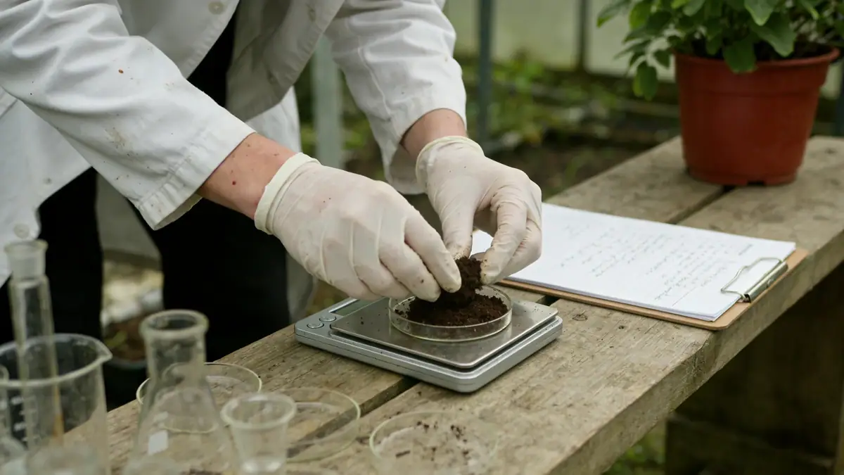
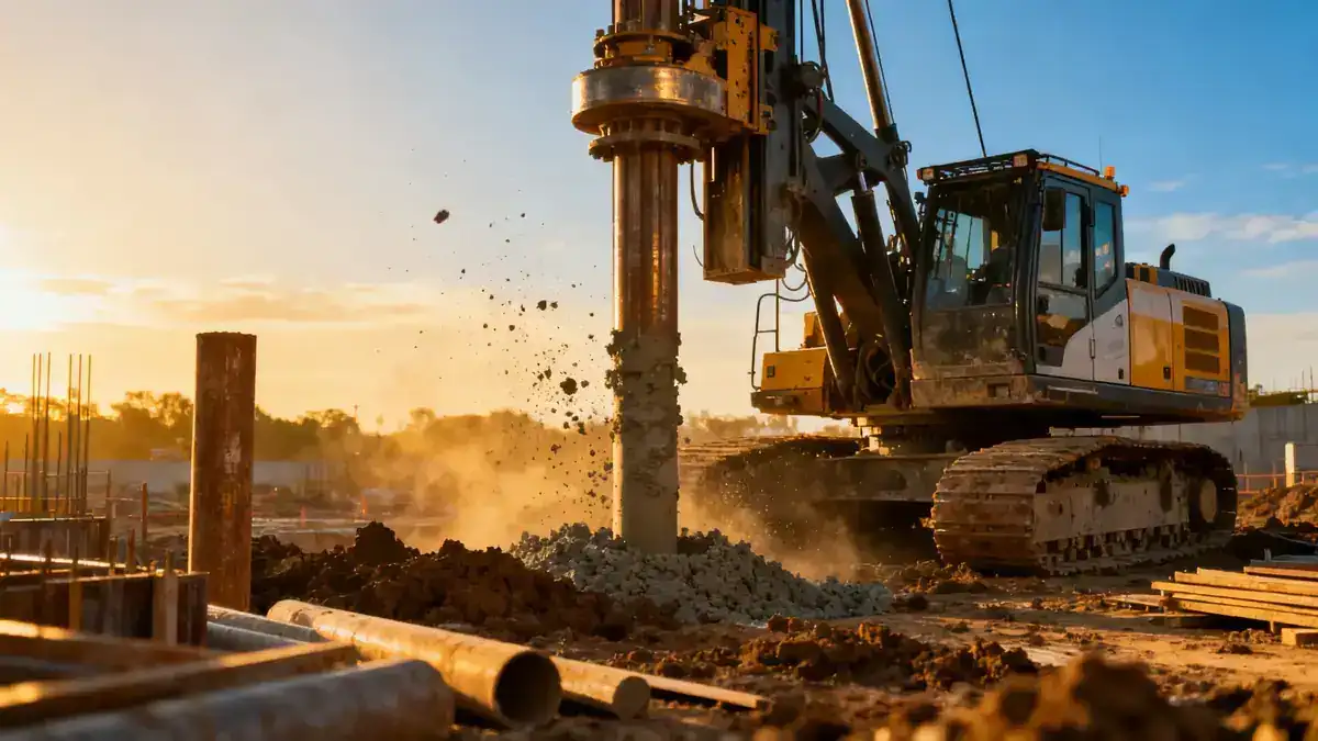
Our methodology for geotechnical engineering in Little Rock begins with a comprehensive site reconnaissance and review of existing geological maps. We then conduct a field exploration program, typically including spt boring to obtain soil samples and measure penetration resistance. These borings are spaced according to project requirements, with continuous sampling in critical zones. Laboratory tests on recovered samples follow ASTM standards, such as ASTM D1586 for SPT and ASTM D4318 for Atterberg limits. Our team integrates all data to develop a site-specific geotechnical model, which informs foundation recommendations and seismic design parameters per ASCE 7. This systematic approach ensures reliable results for every project.
Reference Technical Parameters
| Parameter | Reference Value |
|---|---|
| Predominant soil type | Clay, silt, and weathered shale (Arkansas River Valley deposits) |
| Maximum seismic acceleration (PGA) | 0.2g (ASCE 7 Seismic Design Category C) |
| Typical groundwater level | 3–6 m below ground surface (varies seasonally) |
| Bedrock depth | 10–30 m (sandstone and shale formations) |
| Typical N60 range (SPT) | 5–15 in clay; >50 in weathered shale |
Local Considerations — Little Rock
Little Rock's geology is dominated by Quaternary alluvium overlying the Arkansas Novaculite and Jackfork Sandstone. The Arkansas River floodplain presents soft clays and high groundwater, requiring deep foundations or ground improvement. In contrast, the western hills feature stiff clays and shallow bedrock, favoring spread footings. Seismic hazard is moderate, with peak ground accelerations up to 0.2g per USGS maps. Our team tailors geotechnical engineering in Little Rock to these conditions. For complex slopes, we integrate slope stability analyses. We also serve as a regional hub, with our geotechnical engineering in Houston office supporting national projects.
Request a Quote
Our team reviews your project and issues an initial report at no cost.
Or write us directly at contact@geotechnicalengineering.net
Services in Little Rock
Applicable Standards
- ASTM D1586 (Standard Penetration Test)
- ASCE 7 (Minimum Design Loads for Buildings)
- IBC (International Building Code) – adopted by Arkansas
- USGS Seismic Hazard Maps (for PGA values)
Frequently Asked Questions
What soil types are commonly found in Little Rock?
Little Rock's soils range from soft alluvial clays and silts near the Arkansas River to stiff clays and weathered shale in upland areas. These variations require site-specific investigation to determine bearing capacity and settlement potential.
Does Little Rock have seismic design requirements?
Yes. Per ASCE 7 and the IBC, Little Rock falls in Seismic Design Category C, with a peak ground acceleration of 0.2g. Structures must be designed to resist lateral forces, and geotechnical reports must provide site class and liquefaction potential.
Are geotechnical studies mandatory for construction in Little Rock?
While not always required by law for all projects, most local building departments recommend or require geotechnical reports for commercial buildings and subdivisions. Lenders and insurers also often mandate them to reduce risk.