
Methodology
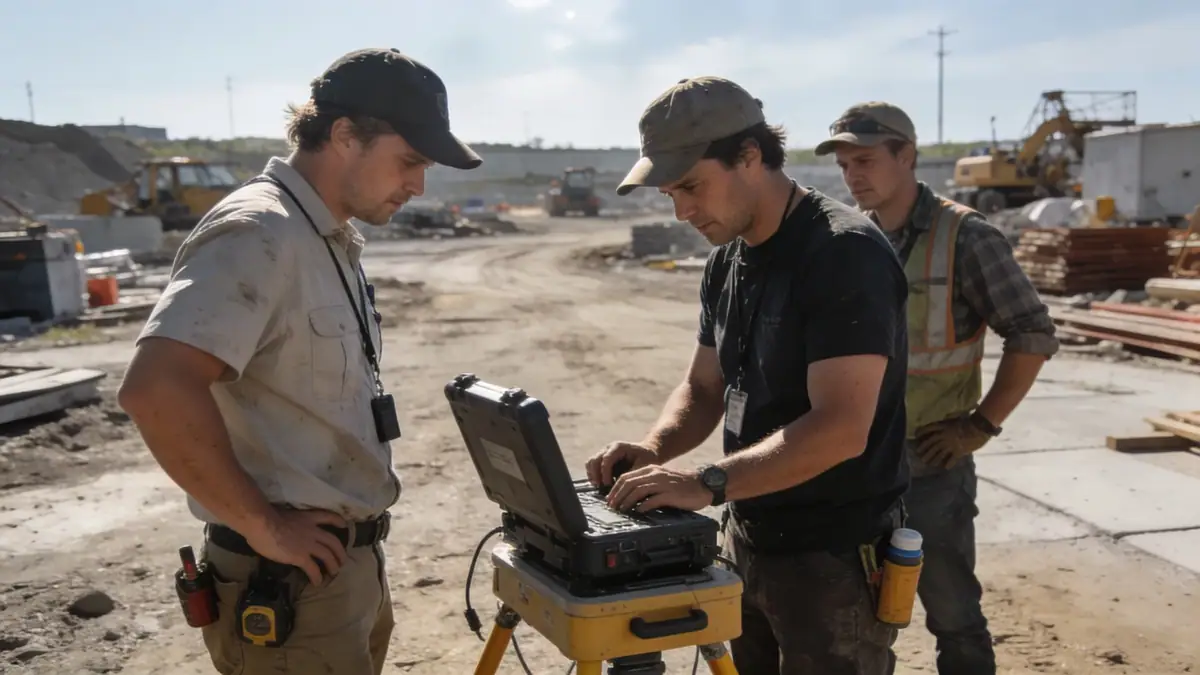
Our methodology begins with a comprehensive review of existing geologic maps and boring logs from the USGS and Virginia Department of Transportation to identify the dominant soil units in Norfolk—typically sands, silts, and clays of the Tabb and Windsor formations. We then execute a phased field investigation using standard penetration testing (SPT) per ASTM D1586 at intervals of 1.5 m to 3 m, supplemented by undisturbed tube sampling for laboratory analysis. Our team prioritizes groundwater monitoring through piezometers installed during drilling, as the shallow water table (often 1.5–3 m below grade) significantly influences excavation stability and foundation design. All data is synthesized into a site-specific geotechnical report that recommends allowable bearing capacities, lateral earth pressures, and seismic site class per ASCE 7-22. For detailed subsurface exploration, we rely on our spt boring services.
Reference Technical Parameters
| Parameter | Reference Value |
|---|---|
| Predominant soil type | Sands, silts, and clays (Tabb and Windsor formations) |
| Maximum seismic acceleration (PGA) | 0.15g–0.20g (ASCE 7-22 Site Class C/D) |
| Typical groundwater level | 1.5–3.0 m below ground surface |
| Bedrock depth | >30 m (no bedrock within typical exploration depth) |
| Typical N60 range (SPT) | 4–12 blows/ft (upper sands); 10–25 blows/ft (dense sands at depth) |
Local Considerations — Norfolk
Norfolk's geology is dominated by Pleistocene terrace deposits underlain by the Chesapeake Group sediments, creating a layered profile of fine sands and silty clays with occasional shell fragments. The shallow water table poses challenges for excavations and requires dewatering plans for basements. Seismic hazard is moderate (PGA ~0.15g), but the potential for liquefaction in loose saturated sands near the Elizabeth River demands site-specific response analysis per ASCE 7-22. Our team has addressed differential settlement issues in historic districts like Freemason and designed deep foundations for structures in the Naval Station area. For laboratory testing of these variable soils, we utilize our soil mechanics laboratory to obtain precise index properties and strength parameters.
Request a Quote
Our team reviews your project and issues an initial report at no cost.
Or write us directly at contact@geotechnicalengineering.net
Services in Norfolk
Applicable Standards
- ASTM D1586 (Standard Penetration Test)
- ASCE 7-22 (Minimum Design Loads for Buildings)
- Virginia Uniform Statewide Building Code (USBC)
- ASTM D2487 (Unified Soil Classification System)
Frequently Asked Questions
What soil types are most common in Norfolk, Virginia?
Norfolk's subsurface typically consists of Pleistocene sands, silts, and clays of the Tabb and Windsor formations. These deposits are often interbedded, with loose to medium dense sands near the surface and stiffer clays at depth. Organic soils may be encountered in former marsh areas.
Does Norfolk have specific seismic design requirements?
Yes, Norfolk is classified as Seismic Design Category C per ASCE 7-22, with a PGA of approximately 0.15–0.20g. For sites with loose saturated sands, a liquefaction hazard evaluation is required. Our geotechnical reports include site-specific seismic parameters and recommendations for foundation design.
Are geotechnical studies mandatory for construction in Norfolk?
While not always legally required for small residential projects, the Virginia USBC recommends geotechnical investigations for any structure with a foundation. For commercial, industrial, and multi-family projects, a geotechnical report is typically mandated by the building official to verify soil bearing capacity and seismic compliance.